Western Canada Geological Edge Set
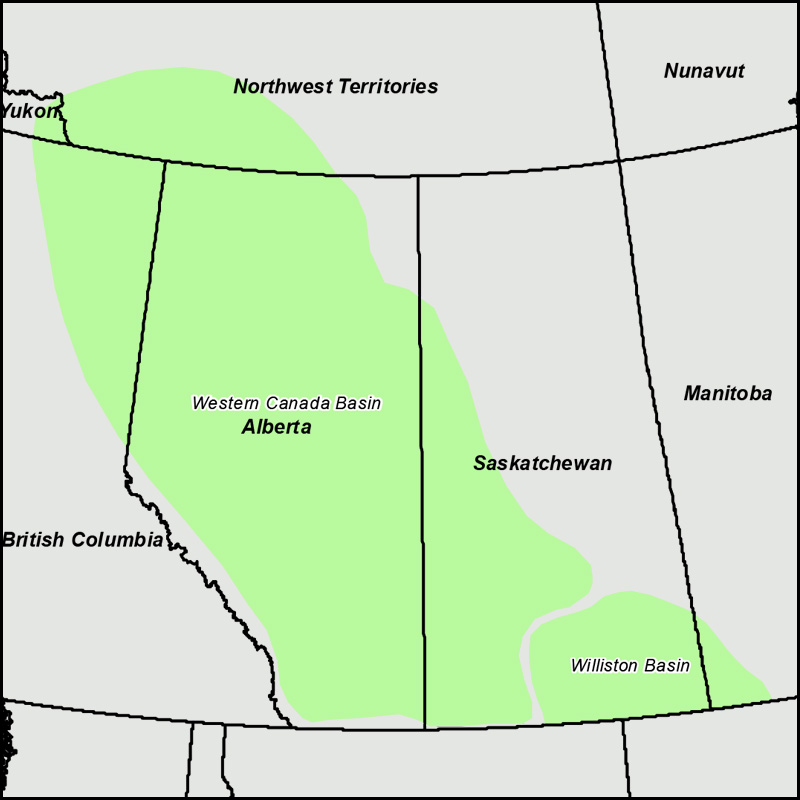
Detailed, accurate, subsurface geology at your fingertips in AccuMap, GeoScout, Petra, ArcGIS, GeoGraphix and all other mapping applications. Devonian reefs, Mississippian and Jurassic subcrops, Triassic subcrops and reservoir trends, Cretaceous channels and shorelines. Geological edges and reservoir trends are available for the Alberta, British Columbia, Saskatchewan, Manitoba and NWT portions of the Western Canada Sedimentary Basin.


2025 Pricing
Annual License Subscription
The Western Canada Geological Edge Set is available to subscribing companies on an annual license basis (per company, based on daily production):
>100,000 BOE/d USD $20,000 per year
<100,000 BOE/d USD $18,000 per year (discounted 10%)
<60,000 BOE/d USD $16,000 per year (discounted 20%)
<20,000 BOE/d USD $13,000 per year (discounted 35%)
<10,000 BOE/d USD $10,000 per year (discounted 50%)
<2,000 BOE/d USD $7,000 per year (discounted 65%)Note 1: for gas production please use a 6:1 conversion to BOE (1 BOE = 6 mcf)
Note 2: A service company's annual license fee will be based on the revenue of the company and not on production
Note 3: North American Shales is discounted 15% for each other set that a company licenses (due to geographic overlap)
LICENSE FEE INCLUDES:
Full set of digital edges for AccuMap (provided as Map Features and as Map/Annotation files)
Full set of ESRI Shape files for geoSCOUT, Petra and other applications
Petra Thematic Mapper Projects, GeoGraphix Projects, ArcGIS Projects
Hard copy prints of key maps
50 regional cross-sections in PDF format
Digital user's manual
Access to bi-annual updates and additions to mapping, technical support
Coverage for British Columbia, Alberta, Saskatchewan, Manitoba, and southern Northwest Territories
LIST OF GEOLOGICAL FEATURES PROVIDED:
Tertiary: Scollard Outcrop, Ardley Coal CBM trends
Cretaceous: Glauconitic channels (southern Alberta), Lloydminster, Rex (E. Alberta, W. Sask.), Colony/McLaren/Waseca/Sparky channels (east-central AB, west SK), Bluesky, Dunlevy sands (NEBC), BQ/Ellerslie channels, Cadotte, Falher, Cadomin (Deep Basin), Mannville CBM trends, Horseshoe Canyon Outcrop and CBM trends, Mannville Outcrops, Roseray, Cantaur, Viking, Cardium, Milk River, Second White Specks, Baron Sst
Jurassic: Jurassic subcrop edge, Rock Creek subcrop edge, Nikanassin subcrop edge (NEBC)
Triassic: Triassic, Montney, Doig and Halfway subcrop edges, Doig, Halfway, Cecil, Siphon, North Pine, Boundary Lk., Artex reservoir facies distribution, Montney Tight Gas (Alberta, NEBC)
Permian: Belloy-Fantasque subcrop (Alberta, NEBC)
Mississippian: Kiskatinaw, Debolt/Elkton, Top Elkton, Shunda, Pekisko, Banff/Exshaw subcrop edges (Alberta, NE BC); Kibbey, Poplar, Ratcliffe, Midale, Frobisher, Kisbey, Alida, Tilston, Souris Valley, Bakken, Lower Bakken subcrop edges; Flat Lake, Oungre, Frobisher, Bluell, Sherwood, Mohall anhydrite barriers (Saskatchewan)
Devonian: Wabanum, Nisku, Grosmont, Slave Point subcrop edges; Leduc, Nisku, Jean Marie, Grosmont, Slave Point/Swan Hills reefs and platform margins, limit of Klua Shale/Rainbow-Zama sub-basins, Duvernay and Horn River Shales (Alberta, NEBC, NWT)
Outcrops: Formation Outcrops in Alberta and NEBC (shapefile only)
General: Ft. St. John - Dawson Creek Graben Complex; Dunvegan, Whitelaw, Tangent, Hay River, Bovie Lake faults, Main Deformation Front, Surface Deformation Front
